
Paraty looks as though it was always meant to be beautiful, but it exists for a blunt commercial reason. For a stretch of the eighteenth century, this small bay on the Costa Verde was the door through which the gold of the Brazilian interior reached the sea. The whitewashed churches, the wide stone streets, the merchant houses, the whole photogenic grid between the mountains and the water — all of it is, in the end, gold-rush money that happened to age well. Take away the gold, and there is no reason for a town of this scale to have grown up on this particular curve of coast at all.
This page is about that larger story: the macro-history that created Paraty and shaped the valley above it. It runs from the first peoples of this coast, through the great gold rush in the mountains of Minas Gerais, to the mule road that hauled the gold over the Serra do Mar to this port; through the boom town and the forced labor that underpinned it; through the shift of the trade toward Rio, the pivot to cachaça and coffee, the long decline, the twentieth-century rediscovery, and the recognition of the whole landscape by UNESCO in 2019.
It is also, quietly, the story of the ground the reserve stands on. Reserva Sete Quedas sits high on the same mountain wall, threaded by the same family of pack roads, around a banana farm nearly as old as the gold road itself. The sweep that built the town below built the valley above too, and knowing it changes what you see in both.
- The strike
- gold in the streams of Minas Gerais in the 1690s, touching off one of history's largest gold rushes
- Paraty's role
- the Atlantic port for that gold, reached by mule over the Serra do Mar
- The route
- the Caminho do Ouro, the older coastal leg of the colonial Estrada Real
- The crown's cut
- the quinto, the royal fifth of all gold, taxed and policed at the coast
- The labor
- the forced work of enslaved Africans in the mines, on the roads, and in the sugar mills
- The pivot
- cachaça and sugar, then nineteenth-century coffee, before railways bypassed the town
- UNESCO
- "Paraty and Ilha Grande — Culture and Biodiversity," inscribed 2019, Brazil's first mixed World Heritage Site
- The reserve
- high above the port on the same mule roads, around a roughly 300-year-old banana farm
The wall of mountains and the sea
Before any of the human story makes sense, you have to see the land, because the land decided almost everything that followed. Along this stretch of the southeast Brazilian coast, the mountains do not ease down to the shore. The Serra do Mar rises almost straight out of the Atlantic, a near-continuous wall of steep, forested rock running for hundreds of miles down the edge of the continent. The block of it behind Paraty carries a second name, the Serra da Bocaina, and it is as rugged as any of it. Behind that wall the land climbs to a high interior plateau; in front of it there is a narrow, broken coastal strip and then the sea.
That wall is the master fact. It meant that reaching the interior from the coast, or the coast from the interior, was genuinely hard — a matter of finding the few places where a route could be pushed up and over the range at all. It also meant that most of the coast offered no good harbor, because the mountains ran right to the water with no shelter and no flat ground to build on. Paraty is one of the rare exceptions: a sheltered, island-screened bay sitting at the foot of one of those scarce passes through the Serra. The town became important not because it was large or grand, but because it was the one workable seam between the mountains and the sea at the moment the empire needed exactly that.
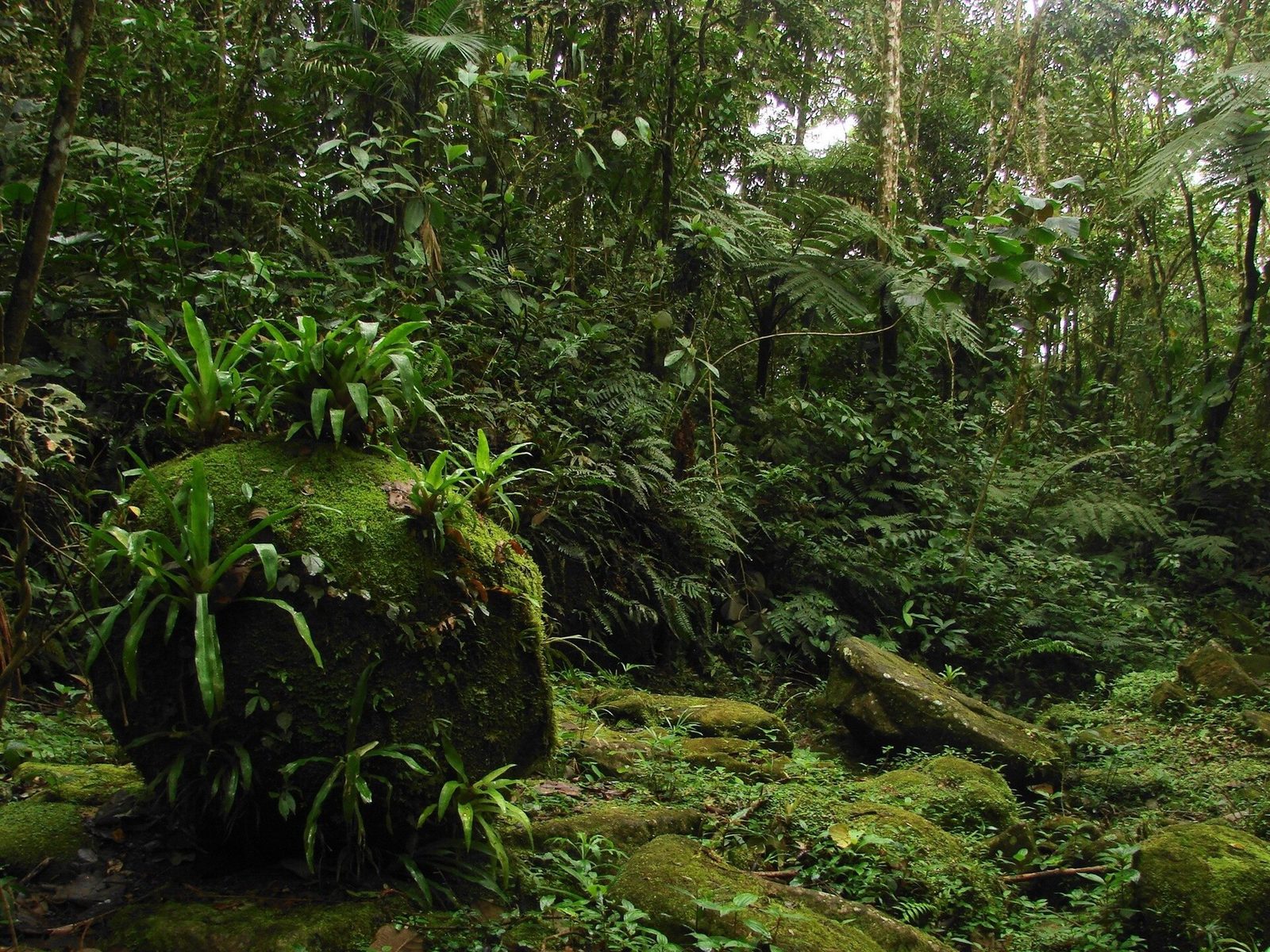
The forest on the wall is the Mata Atlantica, the Atlantic Forest, one of the wettest and most biologically rich environments on Earth and, today, one of the most endangered. It is the same forest that clothes the reserve's 800 acres, two miles up the slope. Every part of the human history here — the difficulty of the roads, the crops that grew, the abundance of clean water, the very survival of the old town — traces back to this single geographic fact of a drowned mountain range meeting a warm ocean under enormous rain. Read the land first, and the history reads more easily.
The first peoples of this coast
The land was never empty. Long before Paraty was a town or Brazil a country, this coast and these mountains were inhabited, and any honest history has to begin there rather than with the arrival of the Portuguese. The record for any single valley is thin, and much of what survives was written by the people doing the displacing, so it pays to be careful and general. But the broad picture is clear.
The coastal Tupi and the name Paraty
The shore of what is now Rio de Janeiro and Sao Paulo was Tupi country, home to Tupi-speaking peoples who fished the bays, farmed small garden plots, and moved along the coast in a web of settlement and trade that was old and well established when Europeans first appeared. They grew manioc and other staples, read the sea and the forest with deep skill, and lived in this warm, wet country in a way that did not exhaust it. The name Paraty itself comes down from the Indigenous languages of this coast; it is generally understood to refer to a kind of fish that ran in these waters. The place was named by the people who lived here long before it appeared on any European map.
The Guaiana of the mountains and the older paths
In the highlands and the forest interior behind the coast lived peoples the colonial records often lumped under the broad, loose label Guaiana — groups of the mountains and the plateau, culturally and linguistically distinct from the coastal Tupi. The relationship between shore and highland was ancient and complicated long before any European was involved in it. What both knew, and knew well, was this exact kind of country: how to cross a steep, broken, endlessly watered mountain without a map. The passes, the fords, the gentle grades that loaded mules would later follow were very often lines that Indigenous feet had already found. When you walk an old trail here, some of its logic is older than the colonial era entirely. The arrival of the Portuguese, and the diseases and violence that came with them, was catastrophic for these peoples, as it was up and down the coast — populations collapsed, communities were broken or absorbed, ways of life thousands of years old were undone in a few generations. That is the foundation the rest of this history sits on, and it should not be hurried past.
A small port before the boom
Paraty did not begin with the gold. It grew from an older coastal settlement into a formal colonial town around the middle of the seventeenth century, decades before anyone had found gold in the interior. For its first stretch of life it was a modest place: a harbor at the foot of the mountains, trading in the goods of the coast, part of the slow, mostly coastal Portuguese Brazil that had existed for a century and a half without any great reason to push inland.
What Paraty already had was a trade of its own, and it is one that never went away. Sugarcane grew on the coastal lowlands and the lower slopes, and around the bay it was distilled into cachaca, the sugarcane spirit. Paraty cachaca became so well known that in parts of Brazil the drink itself was once simply called parati, after the town. Even before the gold, then, this was a working place that knew how to grow cane, run small mills, and move cargo by boat and by mule. That competence mattered enormously for what came next. The gold rush did not conjure a port out of nothing; it took a small, capable coastal town that already understood shipping and, for a few decades, made it briefly essential to an empire.
It helps to hold that in mind, because it explains why Paraty could rise so fast when its moment came. The harbor was sheltered and screened by islands. The town sat at the foot of a viable pass over the Serra. There were people who knew boats, mills, mules, and cargo. When gold appeared in the mountains and the crown needed a coastal door for it, Paraty was not a blank space to be developed but a going concern ready to be pressed into imperial service. The same slopes that grew its cane also grew, on the wetter ground higher up, the bananas that would anchor small mountain farms like the one at the heart of the reserve — a quieter agriculture that would outlast every boom to come.
Gold in the General Mines
For its first two centuries, Portuguese Brazil was mostly a coastal affair — sugar in the northeast, a scatter of ports, brazilwood — and the vast interior was largely unknown to the crown. What changed everything was gold.
The bandeirantes and the strike
The men who found it were the bandeirantes, the flag-bearers: expedition leaders out of the Sao Paulo highlands who had spent generations pushing deep into the interior, at first hunting Indigenous people to enslave and chasing rumors of mines. For a long time they came back with little. Then, in the 1690s, in the streambeds of what would become Minas Gerais — the name means, plainly, General Mines — they struck gold in the gravel in quantities no one had imagined. Word traveled the way word about gold always travels. Within a few years, people were pouring into a region that had, until that moment, no roads, no towns, no farms, and no way to feed the crowds arriving to dig. It became one of the largest gold rushes in human history, and it remade the colony almost overnight.
A rush that had to be fed
One problem shaped the whole story, and it is easy to skip past: the mining district could not feed itself. It sat high in the interior, hundreds of miles from the coast, in country that grew little at first. Everything the miners needed had to be carried in, and everything the mines produced had to be carried out to a port to be taxed and shipped. A discovery that large, in country that remote, simply could not function without roads to the sea. The traffic those roads had to carry gives a concrete sense of the scale of the thing:
- Salt above all, which the interior lacked and which people and cattle both needed constantly.
- Tools, iron, and gunpowder for the mining, and cloth, wine, and manufactured goods for the crowds.
- Cattle and other food, driven or hauled in to feed a population that grew far faster than local farms could.
- Enslaved people, forced along the same roads to labor in the mines.
- And, in the other direction, the gold and later the diamonds — the whole reason the road existed — heading down to a port under the crown's anxious eye.
The gold, in other words, created a sudden and absolute need for a way through the mountains to the sea. Paraty's bay, at the foot of one of the few workable passes, was one of the crown's answers to that need.
The road over the Serra: why the gold came to Paraty
Because gold had to cross the mountains, the mountains had to be crossed by road — and in this country, in that era, a road meant a path an animal could walk with a load on its back. There were no wagons, because there was no ground a wagon could use; the Serra was too steep, too wet, and too broken. The great highway of the gold era was a pack road, walked by mules and donkeys and driven by muleteers.
The Caminho do Ouro
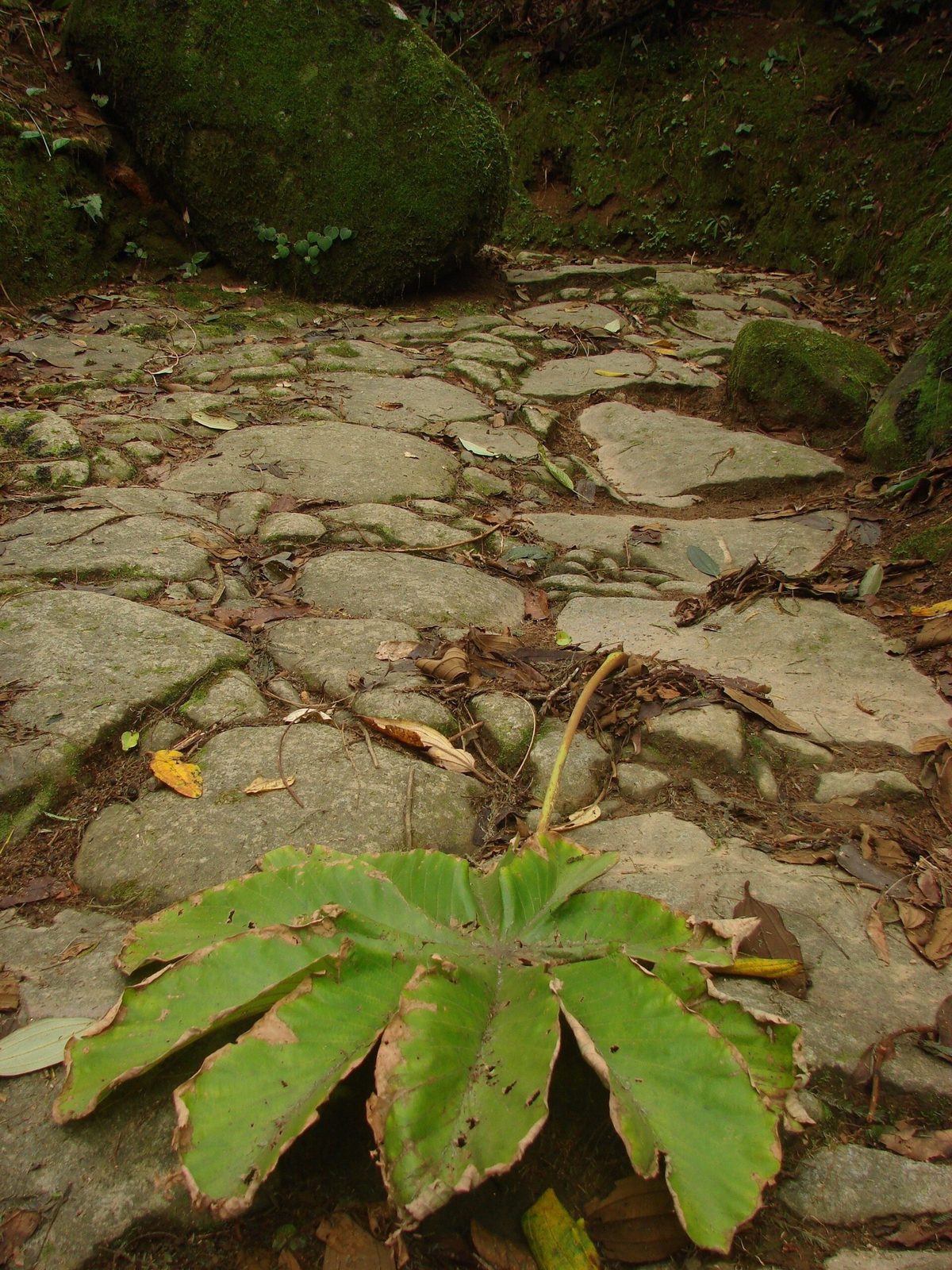
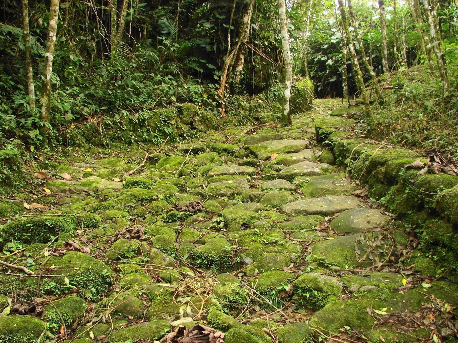
The most famous stretch of that system still carries a name that means something here: the Caminho do Ouro, the Gold Trail. It ran from the mining districts of the interior, across the high country behind the Serra, and down the seaward face of the mountains to Paraty, where the gold was weighed, taxed, and loaded for the voyage on to Rio de Janeiro and Lisbon. Building it was a serious feat. The slope is steep, the rainfall among the heaviest in Brazil, the forest dense, and the mountain cut by an endless number of streams. The builders read the land rather than any map, finding the ridgelines and saddles that offered stable footing, paving the worst sections in fitted stone, and grading the whole route to the patient, sidling line a loaded mule prefers. Restored sections survive above Paraty today, still paved, still climbing into the forest, worn smooth down the center by generations of hooves. We cover the route and how to walk it on our Caminho do Ouro page.
One leg of the Estrada Real
The Gold Trail is best understood as one leg of something larger. Over time the crown designated an official network of protected, taxed routes linking the mining interior to the coast, and this network came to be called the Estrada Real, the Royal Road. It was never a single ribbon of pavement but a system of trunk routes and branches crossing some of the most rugged mountains in the southeast. Two great arteries anchored it. The older, the Caminho Velho, is the one that ends at Paraty, running down through the highland town of Cunha to the coast. It is the Caminho Velho, on its final descent, that people mean when they speak of the Caminho do Ouro here. For the first decades of the boom, this was the main way out, and it is why a quiet fishing and cachaca town briefly became one of the most important ports in the Portuguese empire.
The boom in time, without false precision
The arc is easier to hold as a rough sequence than as a list of dates. Gold turns up in the streams of Minas Gerais in the 1690s. The first half of the 1700s is Paraty's boom century, when the gold comes down the Caminho do Ouro to this port. Early in that century the crown opens a more direct road to Rio de Janeiro, and the trade begins to shift away. The 1800s bring coffee and then the railways that bypass the town. The twentieth century brings isolation, then rediscovery and protection. And in 2019 the whole landscape is inscribed by UNESCO. Everything below fits somewhere on that line.
The boom town and the crown's grip
Gold on this scale meant control on this scale. A port that handled a river of the king's wealth could not be left to run itself, and the town that grew up around the trade was shaped as much by the crown's grip as by its money.
The royal fifth
The Portuguese crown claimed the quinto — the royal fifth, one-fifth of all gold produced — and an enormous share of colonial policy in the 1700s was really about making sure the quinto was collected and that gold did not slip away untaxed. At the coast this meant machinery: a customs house at the port, registries and control points, foundries where raw gold was melted, weighed, taxed, and stamped into official bars before it could be shipped. Moving unregistered gold was a serious crime, and a paved road down to a harbor was, inconveniently for the crown, also an ideal road for smuggling. So the same route that carried the gold was studded with checkpoints meant to keep it honest. The weight of that taxation left a mark on the country's history: when the mines later faltered and the crown kept demanding its fifth regardless, the resentment helped feed the Inconfidencia Mineira of 1789, an early and failed conspiracy for independence whose best-remembered figure, Tiradentes, was executed and later made a national hero.
A town of control, still standing
The physical town preserves this. The grid was laid as a working port, its streets running to the water so cargo could move from ship to warehouse to mule train. The four colonial churches, which look at first like simple piety, are in fact a map of a rigidly divided society: each was built by and for a different group — the white elite, the free people of mixed race, the enslaved and freed Black population, the later bourgeoisie — because the colonial order dictated who could worship where. Walking between them is the clearest way to read the town's social history, and we lay them out in our Paraty churches and architecture page. The customs-era streets, the civic buildings, the merchant houses: this is the architecture of an empire's checkpoint, and it survives almost intact.
The hands that carried it
None of this can be told honestly without stating plainly who did the work. The mines, the roads, the port, the mills, and the farms that fed the whole system were built and run in very large part by the forced labor of enslaved Africans, alongside enslaved and displaced Indigenous people. This is not a footnote to the gold cycle. It is its foundation.
In the mines and the mills
The gold that came down to Paraty was torn out of the ground by people who had been captured in Africa, shipped across the Atlantic in conditions designed to be survivable only barely, sold, and worked in the streams and pits of Minas Gerais under conditions that were brutal and frequently lethal. The sugar and cachaca that were Paraty's own trade were made the same way: cane cut and crushed and boiled in engenhos by enslaved hands, all around this bay. The wealth that raised the churches and paved the streets was extracted from the mountains and from the bodies of the people forced to work them. The beauty of the old town is real, and so is the coerced human suffering that paid for it. Both are true of the same stones.
On the road
The road itself — the fitted-stone causeway that walkers admire today — was laid overwhelmingly by enslaved labor, cut and paved and drained by hand across a wet, near-vertical mountain. And much of the traffic that moved along it, the loading and driving of the pack trains, was done by enslaved and freed people as well. The only respectful way to walk this road is to hold both things at once: to admire the craft in the stone and to remember whose hands and lives it was made with. The reserve's own old pack roads, described on our donkey roads page, were built with the same techniques, by the same kinds of hands, one step down in scale.
The road was extraordinary engineering, and it was built by people who had no choice in the matter. Both things are true of every stone.
Why the gold turned toward Rio
Paraty's decades as the great gold port did not end because the gold ran out first. They ended, above all, because of an administrative decision and a stubborn problem of geography.
The Caminho Novo
The trouble with the Caminho Velho was that it was long and that it required an ocean leg. Gold that reached Paraty still had to be shipped down the coast to Rio de Janeiro before it could cross the Atlantic, which added time, cost, and risk. So in the early decades of the 1700s the crown opened a second great artery, the Caminho Novo, the New Road, running more directly from the mines overland to Rio de Janeiro itself, without the coastal detour. When the New Road was established, the center of gravity of the entire gold trade shifted decisively toward Rio. Paraty's role as the essential door began to close. That single choice, more than any other, set the course of the town's history — and, as it turned out, is a large part of why the place is so well preserved today.
Pirates and the exposed coast
The sea leg was not just slow; it was dangerous. The Costa Verde, with its hundreds of islands and hidden channels, was ideal country for pirates and privateers, and shipping that carried gold down the coast was an obvious prize. Attacks and the constant threat of them made the water route to Rio a liability. An overland road that never exposed the gold to the open sea was, from the crown's point of view, simply safer as well as shorter. Between the New Road's convenience and the coast's dangers, the logic all ran one way. Paraty kept its harbor, its cachaca, and its churches, but it lost its reason to be an imperial port. The town that had risen fast on the gold began, just as decisively, to be left behind by it.
After the gold: cachaca and the sugar engenhos
A port built on a single boom might simply have faded when the boom moved on. What kept Paraty and its coast working was the trade it had never actually abandoned. The gold rush had made the town briefly spectacular, but underneath the spectacle Paraty had always been a place that grew cane and distilled spirit, and when the gold turned toward Rio, that older economy was still there to fall back on.
Sugarcane grew well on the coastal flats and lower slopes, and around the bay the land held a great many engenhos — the mills where cane was crushed and its juice boiled and distilled. Most produced cachaca, and Paraty cachaca kept the reputation it had earned, good enough that its name had once stood in for the drink itself. The barrels moved on the same boats and the same mule roads as everything else had, and the distilleries became, and remain, part of the identity of the place. Paraty is still known for its cachaca and its old alembics today, and the town still makes room in its calendar to celebrate them.
None of this happened in isolation from the mountain farms above the town. A holding in these hills was rarely a single-crop operation. It grew some cane where the ground allowed, manioc and beans for the household, and fruit — and on the wet, sheltered, spring-fed slopes higher up, above all, it grew bananas. The banana was the crop that suited this country almost perfectly: it wanted warmth and water and shelter from frost, all of which a mountain slope in the Atlantic Forest supplied, and once a grove was established it kept producing without replanting from seed, its heavy stems carried out on an animal down a graded path. The engenhos and the cane belonged to the coast and the boom; the banana belonged to the quiet, durable agriculture of the slopes, and it is the banana, more than the gold or the cane, that threads the deepest continuous line through the history of the reserve's own land.
The coffee century and the road that passed the town by
Paraty got a genuine second act in the nineteenth century, and then lost it in a way that would define the town for a hundred years. The engine of the second act was coffee.
In the 1800s coffee became the great export of the southeast of Brazil. The Paraiba valley inland, on the far side of the Serra, filled with coffee plantations, and coffee, like gold before it, needed to reach the sea. For a period the old mountain routes carried coffee down to the coast on the backs of the same kind of pack animals that had carried gold, and Paraty's port revived on the trade. Coffee money moved through the region again. But coffee agriculture was hungry for land, and across the southeast it cleared Atlantic Forest wholesale, planting bushes in bare rows straight down the slopes — a heavier hand on the land than the mixed mountain farms ever laid.
Then the railways came, and they killed the mule trade for good. Built to serve the coffee heartlands, the new lines ran the crop to larger, better-connected ports and had no use for a slow, difficult mule road over the Serra to a small bay. The trains bypassed Paraty and its mountain road almost entirely. The port fell quiet, the pack trains stopped, and the town was left stranded: no railway, poor roads, reachable mainly by boat, and slowly forgotten by the wider country. It was a painful decline for the people who lived through it. It was also, as it turned out, the single greatest stroke of luck in the town's history, because a place that no new boom comes through is a place where the old buildings are never knocked down.
The long sleep, and the rediscovery
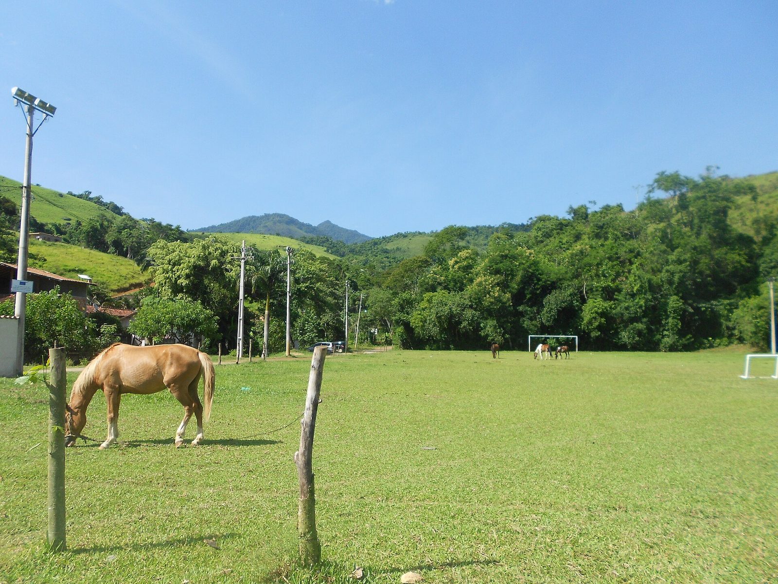
For much of the late nineteenth and early twentieth centuries, Paraty simply slept. Cut off from the railways and served only by rough roads and boats, it drifted to the margins of a country busy modernizing everywhere else. The population thinned as people left for the growing cities. The grand port machinery had no work to do. And the colonial center — the whitewashed houses, the churches, the irregular stone streets built to flood clean at the highest tides — stayed almost exactly as the gold and coffee centuries had left it, because there was neither the money nor the reason to replace any of it.
That neglect is precisely what preserved the town. When Brazil began, in the middle of the twentieth century, to look again at what it had, it found in Paraty something rare: a colonial port town preserved nearly intact by decades of being overlooked. The country's heritage authorities recognized and protected the historic center, halting any impulse to modernize the old grid away. Artists and writers discovered the place; a modern highway finally reached it in the later twentieth century, and with the road came visitors. Paraty's second life, the one it lives now, is as a destination valued for exactly the past that its long isolation had accidentally kept safe. The gold that built the town was long gone; the poverty and neglect that followed the gold turned out to be the reason there was anything left to protect. Our Paraty historic center page walks the surviving streets in detail.
The same logic held in the hills above the town. The mountain farms and their pack roads were not improved into oblivion because no boom ever came through with the money to do it. They were used steadily, kept up by the people who depended on them, and then, as those people left for the cities, quietly let go — left for the forest to climb back over. Neglect preserved the valley much as it preserved the town.
UNESCO 2019: culture and biodiversity in one listing
The most recent chapter in this long story came in 2019, when UNESCO inscribed the area on the World Heritage List as "Paraty and Ilha Grande — Culture and Biodiversity." The wording matters. This is a mixed site, recognized for both its cultural and its natural value in a single listing, and it was Brazil's first mixed World Heritage Site. Most World Heritage places are one or the other — a historic town, or a wilderness. Here the two were judged inseparable, and rightly so.
On the cultural side, the listing honors what this whole history produced: the colonial town and its architecture, the Caminho do Ouro and the wider system of gold-era routes, and the living traditions of the coastal and forest communities — including the caicara fishing communities of the coast, quilombola communities descended from formerly enslaved people, and Indigenous groups who still live in the region. On the natural side, it protects one of the most important surviving blocks of the Atlantic Forest, running from the islands and the sea up the wall of the Serra do Mar and the Serra da Bocaina, with its extraordinary and endangered biodiversity. The listing says, in effect, that you cannot understand the gold road without the forest it climbs, or the forest without the human history written into it. That is the truest thing anyone has officially said about this landscape, and it is the frame the reserve was built inside.
For a visitor, the listing is also a useful reminder of scale. Paraty is not a preserved facade with a nice backdrop; it is one point in a protected sweep of coast, island, and mountain where the cultural and the natural are genuinely one system. The town at the foot of the wall and the forest on top of it are the same story, and the reserve sits squarely within it.
Seeing the whole sweep in Paraty today
The best part of all this history is how much of it is still legible on the ground, if you know what you are looking at. A day or two around Paraty is, in effect, a walk through the entire cycle in the order it happened.
Down in the town, the gold-era grid still runs to the water it was built to serve, and the pe-de-moleque cobbles still carry the drainage and the tidal flushing they were designed for. The four churches still map the divided society that the boom created. The old distilleries still turn cane into cachaca as they did when the gold began to fade. Up the mountain, restored sections of the Caminho do Ouro still climb into the forest, paved in the stone that enslaved hands laid. And above all of it, the Atlantic Forest that the 2019 listing protects still stands, wet and loud and alive, the oldest and ultimately the most important thing in the whole picture.
What each era left you to look at
The land, in the oldest lines of the coastal and mountain trails, first found by Indigenous feet. The gold, in the customs-era street grid, the merchant houses, and the paved Caminho do Ouro above town. The divided society the boom built, in the four churches, each raised by a different group. The cane and cachaca, in the surviving engenhos and alembics around the bay. The coffee and the decline, in a colonial center that was never knocked down because no later boom had the money to do it. And the forest that outlasts all of it, in the protected mountains behind. Read in that order, Paraty is the whole gold cycle told in stone and water.
The same story, one valley up
Everything on this page happened around and below the reserve, and much of it happened directly on the reserve's own ground. Reserva Sete Quedas sits high in this same forest, about two miles above the Sete Quedas — the Seven Waterfalls — on the mountain slopes above Paraty, and its 800 acres are threaded with old pack roads that belong to exactly the same family as the great gold road, one step down in scale.
The Caminho do Ouro was the spine of the system, the imperial trunk route the crown built and taxed and guarded. But a trunk route is useless without the smaller roads that feed it, and branching off the great road was a whole nervous system of lesser pack roads — the everyday paths that let ordinary people reach a field, a mill, a neighbor, or the way down to town. The reserve's roads were that second kind, and that is precisely why they survive so intact: never the tightly guarded imperial highway, just the working roads of a mountain that grew, above all, bananas. At the heart of the reserve is a working organic banana grove roughly three hundred years old — old enough that its roads were being walked while gold was still coming down the mountain above town. What a guest can walk here is the whole history, layered and still readable:
- The oldest trail lines, whose logic predates the colonial era, first found by the people who lived in this forest before Paraty existed.
- The old pack roads, cut and drained and graded to the mule's patient grade, the same craft as the gold road, laid by the same kinds of hands.
- The three-hundred-year-old banana grove, the living colonial-era core of the place, replanted and harvested in an unbroken line since the boom below.
- The young forest climbing back over pastures that were cleared, worked, and then let go when the twentieth century emptied the hills.
- The protected forest itself — 100 acres privately held, joined to 400 adjoining acres of protected Atlantic Forest, together 500 continuous acres — feeding the three streams and four springs that fall away below as the seven waterfalls.
The reserve is the newest line in this very old paragraph. For three centuries the land was used lightly enough that the forest could live alongside the farm. The last century let the forest climb back over the abandoned pastures. And now the land is held so that both continue: the ancient grove still worked, the recovered forest still standing, the water still clean, the waterfalls still falling. A small, capped number of low-impact chalets — never more than one per two acres, never more than twenty-five in all — funds the guarding of the rest. That is not a break with the valley's history but the deliberate continuation of its best pattern, and it is the same conservation-and-culture frame the 2019 UNESCO listing put around the whole coast. You can stand on a piece of the Caminho do Ouro above Paraty in the morning and walk the reserve's own three-hundred-year-old pack roads in the afternoon, and understand, in your legs, that they are two scales of the same thing. If you would like to read the full valley story that this history feeds into, it is on our history of the Sete Quedas valley page, and there is more of the region on our local guides. When you are ready to see it for yourself, from a base high in the quiet forest above the old gold port, you can plan a stay with us. Come at the mule's pace. It is the right pace for this mountain, and it always was.