
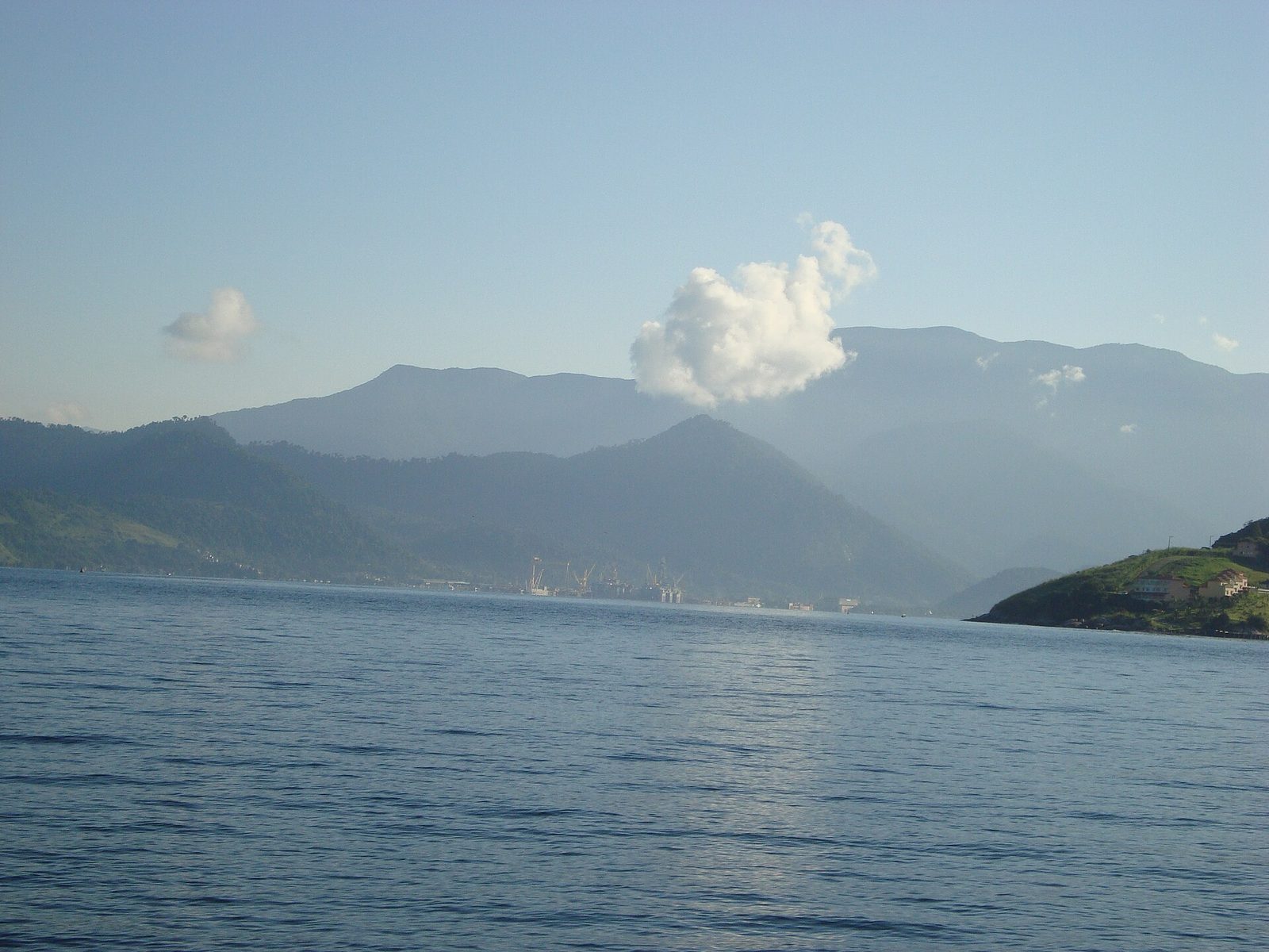
There are faster ways to reach Paraty, but there is no better one than the coast road. The drive down from Rio de Janeiro along the Costa Verde — the Green Coast — follows the BR-101, the highway everyone here still calls the Rio–Santos, as it threads the narrow shelf of land between the sea and the mountains. On one side the Atlantic opens into bay after bay, scattered with islands and edged with beaches; on the other, the forested wall of the Serra do Mar climbs almost straight up from the shoulder of the road. It is one of the great scenic drives in Brazil, and the fact that it delivers you to the foot of our mountain is, as far as we are concerned, a happy accident of geography.
It is also, honestly, a road that asks for your time and your attention. Reckon on roughly four to five hours from Rio to Paraty without stops, and longer — a good deal longer — once you start pulling over for the views, the beach towns, and the coffee, which you will. The route is two lanes for most of its length, winding, shared with trucks and buses, and prone to rain and, in the wet months, the occasional fog or landslide. None of that is a reason not to drive it. It is a reason to plan for it, leave early, and treat the journey as the first day of the holiday rather than an obstacle before it.
This guide walks the whole route the way you will drive it: out of Rio and onto the coast, through the bays and ferry towns of Mangaratiba and Angra dos Reis, along the beaches of the Frade and Mambucaba stretch, past the viewpoints where the road climbs a headland and the sea drops away below. It covers the honest driving conditions, the alternative approach from São Paulo and Ubatuba to the south, the option of skipping the wheel entirely and coming by bus, and the last short climb up the mountain to the reserve. The aim is simple: to help you arrive relaxed, in daylight, having enjoyed the way in.
- Route
- BR-101, the Rio–Santos highway, along the Costa Verde
- From Rio de Janeiro
- roughly 4 to 5 hours without stops, longer with them
- Passes through
- Mangaratiba, Angra dos Reis, and Mambucaba toward Paraty
- Road type
- mostly two-lane, winding, shared with trucks and buses
- Ilha Grande ferry points
- Mangaratiba, Conceição de Jacareí, Angra dos Reis
- By bus
- the Costa Verde line from Rio's Novo Rio terminal
- Southern approach
- from São Paulo down the Tamoios and up through Ubatuba
- Drive in daylight
- curves, rain, and occasional wet-season closures reward an early start
One of Brazil's great coast roads
The Rio–Santos was cut along this coast to connect the two great port cities at either end of it, and for a long stretch in the middle it simply follows the only line the land allows: the thin margin where the Serra do Mar meets the sea. That is why it is so beautiful and why it is so slow. The mountains here are steep and folded, dropping into a coastline of deep bays and headlands, and the road has no choice but to trace every curve of it, climbing over each rocky point and dropping back down to the next crescent of sand. You are rarely on a straight for long, and you are almost never out of sight of either the water or the green wall above it.
For most visitors coming to the reserve, Rio is the natural starting point. It is the closer of the two big cities, the drive is the more scenic, and the coast road runs more or less unbroken from the western edge of Rio all the way to Paraty. The distance is not large by the standards of Brazilian road trips, but the time it takes always surprises people who read only the number of kilometres. Between the curves, the trucks grinding up the climbs, the beach-town traffic, and the sheer temptation to stop, the drive fills a morning and often spills into the afternoon. That is the right way to think about it: not as a transfer to be endured, but as a slow, rewarding day with the sea on your right.
The shape of the journey is easy to hold in your head. You leave Rio through its western beaches, skirt one broad bay after another, pass the ferry towns where boats leave for Ilha Grande, run along a stretch of quiet beaches toward the border of Rio de Janeiro state, and arrive at Paraty at the foot of the Serra da Bocaina. Only then does the last, separate leg begin: the short climb up the mountain road to the reserve, above the seven waterfalls. Everything before that is the coast; the mountain is the coda. Keep that division in mind and the planning becomes simple.
Leaving Rio: the western beaches and the start of the coast
Getting out of Rio is the least scenic part of the drive, and the part most worth timing well. The city is large, its traffic is serious, and the way to the Costa Verde runs through the sprawling Zona Oeste, the western zone, before the coast proper begins. If you can leave early — genuinely early, before the morning rush hardens — you will spare yourself an hour of stop-start and reach the open coast with the best of the day still ahead. Leaving at midday, or on a summer Friday when half the city is heading for the same beaches, is how a four-hour drive becomes a six-hour one.
Through the Zona Oeste
The route out leads through Rio's western beach districts — Barra da Tijuca, Recreio dos Bandeirantes, and on past Guaratiba — a long ribbon of apartment towers, shopping, and broad sandy beaches that eventually thins into something more open. Beyond the built-up coast the road swings inland a little and skirts the industrial edge of Sepetiba Bay, passing the big port at Itaguaí, where container ships and cranes are the last thoroughly urban thing you will see. It is not the prettiest introduction, and it can be slow, but it is brief in the scheme of the day. Keep your patience here; the reward comes soon.
Where the coast really begins
Somewhere around Itacuruçá and Mangaratiba, the character of the drive changes for good. The industrial sprawl falls away, the road returns to the shoreline, and Sepetiba Bay opens on your right with its low green islands and its fleet of wooden saveiros, the traditional two-masted schooners that still work these waters and carry day-trippers out to the nearer islands. From here on you are on the coast road as people imagine it: the sea close on one side, the forest rising on the other, small towns strung along the shore, and the traffic finally loosening into something you can enjoy. This is the moment the trip stops being a slog out of a city and becomes a coastal drive. It usually comes with an involuntary easing of the shoulders.
Mangaratiba and Itacuruçá: the first bay, and a boat to the islands
Itacuruçá and Mangaratiba sit on Sepetiba Bay, the first of the great sheltered bays the road follows, and they make a natural first stop or at least a first slowing-down. Itacuruçá is a small, unhurried place known mostly as a jumping-off point for schooner trips out to a handful of nearby islands — Ilha de Itacuruçá, Ilha de Jaguanum, and their neighbours — where the water is calm and the beaches are quiet. Mangaratiba, a little farther on, is a modest town wrapped around a working harbour, more useful than beautiful, but with a genuine role in the region's travel: it is one of the main mainland points where boats leave for Ilha Grande.
That ferry connection is worth knowing about even if you are bound for Paraty and not the islands, because it explains the traffic and the coming and going along this stretch. The large public ferry — the barca — makes the crossing from Mangaratiba to Vila do Abraão on Ilha Grande, and it is the cheapest way across the water, though it runs on a fixed and limited timetable. Closer to the Rio side, the smaller departure point at Conceição de Jacareí offers quicker, more frequent crossings by fast boat, and farther down the coast, Angra dos Reis has the most services of all. If a day on the car-free island tempts you either on the way in or as a trip out from the reserve later, our guide to Angra dos Reis and Ilha Grande lays out the crossings and the beaches in full.
For the road-tripper simply passing through, Mangaratiba and Itacuruçá are a good place for a first coffee and a look at the bay, and not much more. The towns themselves are workaday; the pleasure is the water and the islands offshore. Fill the tank if it is low, stretch your legs, and press on. The coast only gets better from here, and the finest stretches of the drive are still ahead.
Angra dos Reis and its bay of many islands
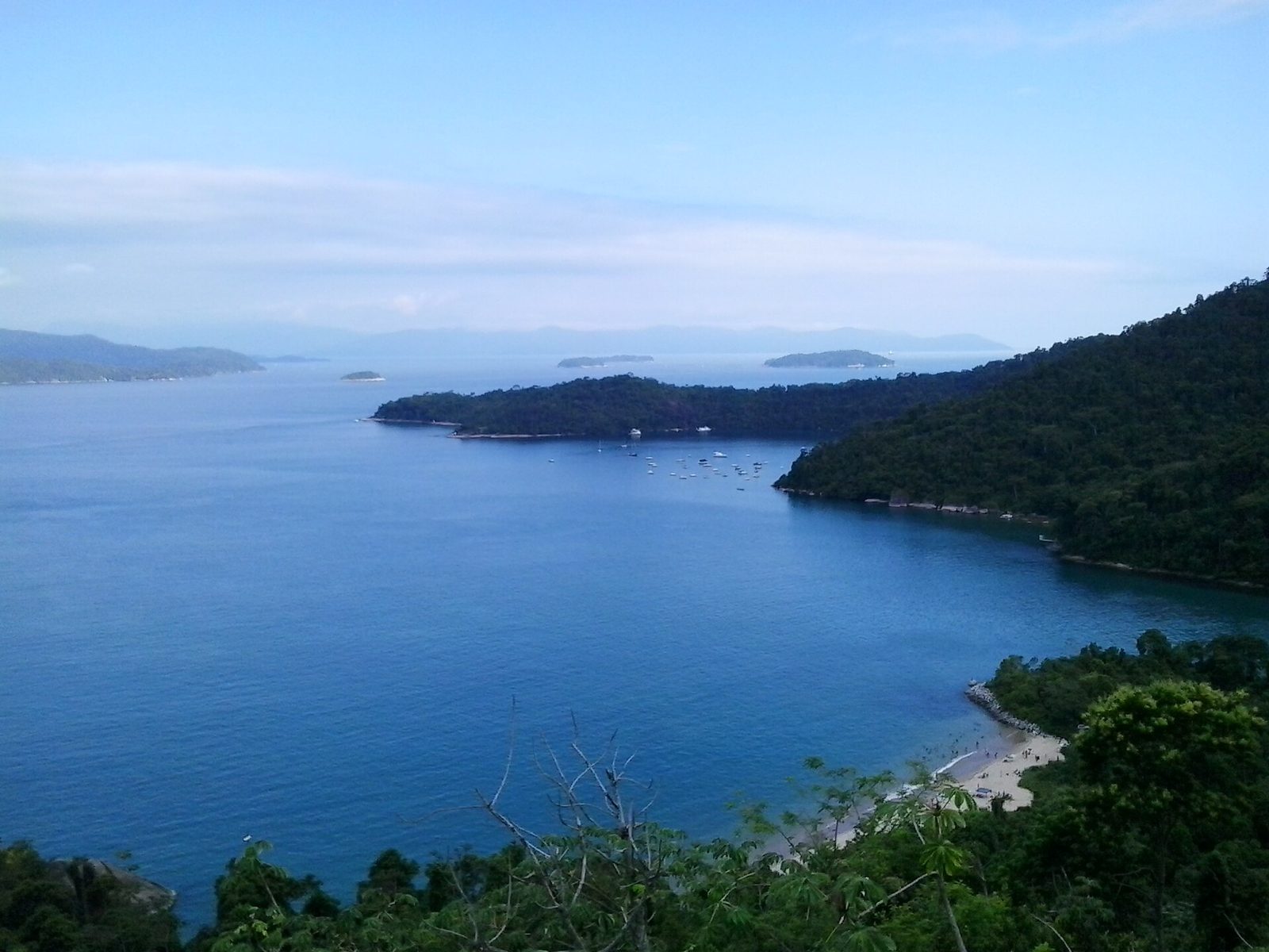
Angra dos Reis is the largest town along the route between Rio and Paraty, and the point where the coast reaches its most spectacular. This is the bay of the famous 365 islands, one for every day of the year by local reckoning, and even from the road you get a sense of the scale of it: green humps of forested rock scattered across calm water as far as you can see, with wooden schooners threading between them. Portuguese navigators named the place on the Day of Kings in the early sixteenth century, and Angra dos Reis — the cove of the kings — has been a working coast ever since, first sugar and coffee, then fishing and shipbuilding, and today a busy mix of port, naval base, and tourism.
The town as a waypoint
Angra the town is more workaday than lovely. It has a genuine port, real traffic, and a commercial centre that exists to serve the region rather than to charm the visitor, though the old waterfront has a handful of colonial churches and a pleasant enough square if you have time to wander. For the road-tripper it functions mainly as a waypoint and a supply stop: the last large town with full services — fuel, pharmacies, supermarkets, cash machines — before the quieter run down to Paraty. It is a sensible place to top up on all of the above, especially if you are heading straight up the mountain to the reserve afterward, where shops are a drive away.
The ferry points for Ilha Grande
Angra is also the busiest gateway to Ilha Grande, with the most frequent boats making the short crossing to the island's main village. If your plan is to fold a day or two on the island into the trip, Angra is the easiest place to do it from, with everything from the slow public ferry to fast catamarans and private water taxis leaving through the day. Just confirm your return crossing before you commit, because weather can delay the smaller boats and a missed last ferry means an unplanned night away. For the drive itself, the important thing is that the road does not enter the tangle of the town centre unless you want it to; through traffic largely skirts the worst of it, and the bay stays in view as you pass. Take the time to look. This is the widest, brightest, most island-strewn stretch of the whole Costa Verde, and it is the picture most people carry away from the drive.
The Frade and Mambucaba stretch: beaches toward the border
South of Angra the coast quietens and the beaches string out one after another. This is the Frade and Mambucaba stretch, named for two of its districts, and it is where the drive settles into its gentlest and least hurried rhythm. The road runs close to the shore past a series of long beaches and small communities, the mountains still rising behind, the traffic thinner now that the city and the big town are behind you. It is easy driving and lovely to look at, and there is no shortage of places to stop for a swim or a plate of grilled fish at a beach kiosk if the day is running to your favour.
Praia do Frade, tucked into its own cove with a marina and a scatter of houses, is one of the prettier pauses along here. Farther on, the long sweep of Mambucaba beach marks the approach to the border between the municipalities of Angra dos Reis and Paraty, where the Rio Mambucaba comes down out of the mountains to meet the sea. Along this stretch the road also passes the approach to the region's nuclear complex near Itaorna, an incongruous piece of heavy infrastructure on such a green coast; you see little of it from the highway beyond signs and a guarded turning, and it does nothing to spoil the drive, but it is worth knowing it is there so it does not surprise you.
As you close on Paraty the coast throws up a few last quiet places worth a detour if you have time in hand. Tarituba, a small fishing village with a long pier reaching out over calm water, is the kind of unpolished, everyday coastal Brazil that the bigger destinations have largely lost — a couple of simple restaurants, boats drawn up on the sand, and not much else. Stops like these are the reward for driving rather than flying or busing: the freedom to pull off on a whim and find a beach you had never heard of, empty on a weekday, with a kiosk selling cold drinks and someone's catch on the grill.
Viewpoints and photo stops along the serra
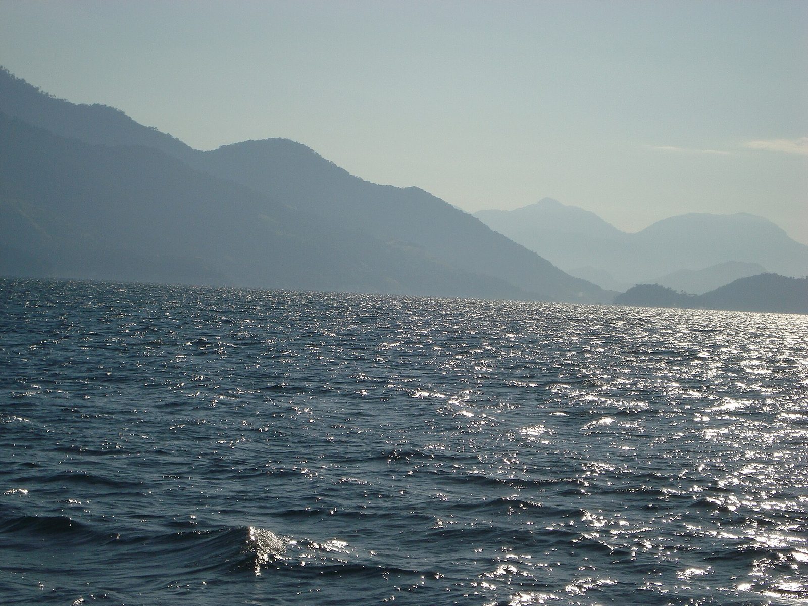
The Costa Verde is not a road of grand, signposted lookouts in the way a mountain pass might be; it spends most of its length close to sea level, hugging the shore. But wherever it is forced to climb over a headland — and it does this again and again — the coast opens up beneath you, and these are the places to slow down and, where it is safe, to pull over. You will know them when you reach them: a rough gravel shoulder, a truck or two already parked, a knot of people out of their cars with phones raised toward the bay. The view is always some version of the same magnificent thing, the sea and its islands laid out below the green shoulder of the mountains, and it never gets old.
A word of caution about these stops, because the same curves that make them beautiful make them dangerous. Only pull over where there is a proper, clear shoulder and good sight lines in both directions; never stop on a blind bend or a narrow verge to grab a photo, however good the light. Signal early, get fully off the road, and be just as careful pulling back out into traffic that is often moving faster than it looks around a curve. A photograph is not worth a collision, and there is almost always a safer pull-off a little farther on if the one you spot looks marginal.
The truly panoramic, named viewpoints of this region — the high lookouts where the whole Bay of Paraty spreads out far below — mostly belong not to the coast road but to the mountain routes above it, above all the climb over the Serra via Cunha and the hills right around Paraty itself. If you have an appetite for those wide vantage points, and for the forts and church-crowned rises around the town, our guide to Paraty's viewpoints and forts is the place to plan them. On the coast road, the pleasure is more constant and more casual: not one great lookout, but a whole day of small ones, each a little different, none of them advertised.
The view is always some version of the same magnificent thing, the sea and its islands laid out below the green shoulder of the mountains, and it never gets old.
Driving the Costa Verde honestly
Because most visitors will drive at least part of this route, here is the plain truth about the road, so that nothing about it catches you out. The Rio–Santos is scenic and, for the most part, in reasonable repair, but it is a two-lane coastal highway with continuous curves, blind bends, and long grades where heavy trucks slow to walking pace. Average speeds are far lower than the map distances suggest, which is exactly why a drive that looks short on paper eats a whole morning. This is not a road to make time on. It rewards patience and punishes hurry, and the drivers who enjoy it are the ones who accept its pace rather than fight it.
Curves, trucks, and motorbikes
Overtaking is the thing to get right. The road is single-lane in each direction for most of its length, and the temptation to pass a crawling truck on a climb is constant. Do it only where you can see clearly and far ahead, and never on a bend or a rise where the oncoming lane is hidden; if in doubt, wait, because there is always another chance farther on. Watch too for motorbikes, which are everywhere on Brazilian roads and filter between lanes and along the shoulder, often at speed and not always where you expect them. Check your mirrors before every move, keep a generous distance behind trucks so you can see past them and stop in time, and let the impatient driver behind you go by rather than being hurried into a risk.
Rain, fog, and the wet-season road
Weather shapes this drive more than anything else. The Costa Verde catches a great deal of rain, and in the wet season, roughly December through March, sudden heavy downpours can cut visibility to almost nothing and turn the surface slick in seconds. The mountains that make the scenery also make their own weather, and a bank of fog can settle over a headland with little warning. In the heaviest rains, the steep slopes above the road occasionally shed rock or earth, and a landslide can close a stretch of the coast road for hours or, rarely, longer while it is cleared. None of this is a reason to stay away, but all of it is a reason to check conditions before you set out in the wet months, to slow right down when the rain comes, and never to push on through fog or a downpour when pulling over safely and waiting it out is an option.
Drive the Costa Verde in daylight
The single best safety decision you can make on this route is to drive it by day. The coast road and the mountain climb to the reserve are both winding, the light fades fast behind the serra, and after dark the curves, the trucks without working lights, the motorbikes, and the wet surface all become far harder to read. Signage thins out and the last stretch to the reserve is unpaved. If your flight lands late or the day has slipped away from you, it is far better to overnight in Rio, Angra, or Paraty and finish the drive fresh the next morning than to tackle the twisty sections tired and in the dark. Wear seatbelts, keep your distance behind trucks, and give yourself the daylight.
Fuel, rest stops, and the rhythm of the drive
A little practical planning keeps the drive smooth. Fuel is the first thing: filling stations are common enough along the populated stretches near Rio, Mangaratiba, and Angra, but they thin out between towns, so the sensible habit is to top up when you pass a good station rather than run the tank low and hope for one around the next bay. Angra dos Reis is the last large town with the full range of services before Paraty, which makes it the natural place for a proper stop — fuel, food, a cash machine, a supermarket run if you are self-catering up at the reserve.
Cash is worth carrying in small notes. Card machines are widespread but not universal, and the beach kiosks, small-town lanchonetes, and boat operators you will most want to use on a whim are exactly the places most likely to want cash, or to have a card reader that will not connect where the signal is weak. Do not count on a continuous mobile signal, either; it drops in and out among the hills and headlands, so download your maps for offline use before you leave and do not rely on a live connection to find your way. The main highways in the wider region — the Via Dutra inland and the roads down from São Paulo — carry tolls, so keep some cash and a card handy for the plazas even where electronic payment is offered.
Most of all, build stops into the plan on purpose rather than treating them as failures of progress. The whole point of driving this coast, instead of busing or flying, is the freedom to pull over — for a coffee where the bay opens up, for a swim at a beach that catches your eye, for lunch at a fishing village you had never heard of. A drive planned as a series of pleasant pauses is a good day; a drive planned as a dash with the pauses grudged is a bad one, and no faster for the grudging. Set out early, keep the tank full and some cash in your pocket, and let the road set the pace.
Set out early, keep the tank full and some cash in your pocket, and let the road set the pace.
The southern approach: from São Paulo and Ubatuba
Not everyone comes from Rio. For visitors flying into São Paulo, or making a wider trip of the coast, Paraty is reached from the south instead, and the drive is a genuinely different experience — longer overall, and with its own dramatic descent from the plateau to the sea. São Paulo is farther from Paraty than Rio is, and because there is no fast, direct road the whole way, the drive takes longer than the modest extra distance suggests. Plan on a good five to six hours, more if the traffic leaving the city is against you, which in São Paulo it often is.
Down the Tamoios to the coast
The usual way brings you out of São Paulo toward the coast and then down the Serra do Mar by the Rodovia dos Tamoios, the highway that drops from the highland plateau to the shore at Caraguatatuba. It is a striking descent, engineered down a steep face of forested mountain, and it deposits you on the north coast of São Paulo state within reach of the sea. From Caraguatatuba you turn north and pick up the same Rio–Santos coast road, now running up through the beaches of São Paulo's northern shore toward the border with Rio de Janeiro state and, beyond it, Paraty. It shares every quality of the coast road farther north: winding, single-lane, slow behind trucks, and busy on summer weekends, with the same need for a rested driver and a daylight arrival.
Up through Ubatuba into Rio state
The finest part of the southern approach is the run up through Ubatuba, the string of more than a hundred beaches that lines São Paulo's northern coast before the state line. This is a beautiful stretch to drive, the road curling from one cove to the next with the forest coming down almost to the sand, and it makes Ubatuba a natural place to break the journey or to spend a night on the way in or out. If you build it into your trip, our guide to Ubatuba covers its beaches, its surf, and its practicalities. From the last of the Ubatuba beaches the road crosses into Rio de Janeiro state and runs the final stretch to Paraty through Trindade and the southern beaches, delivering you to the town from the south rather than the north. Either way you arrive at the same place, at the foot of the same mountain, with the same last climb still to make.
Doing the trip by bus instead of driving
You do not need a car to make this journey, and for a good number of visitors the bus is the better choice. Brazil's intercity coaches are comfortable and reliable, and Paraty is well served from both directions. The Costa Verde line runs the coastal route between Rio de Janeiro and Paraty several times a day, following the very same Rio–Santos highway you would otherwise drive, with departures from Rio's main bus terminal, the Rodoviária Novo Rio. The trip takes roughly the same four to five hours as the drive, sometimes a little more with stops, and the great advantage is that you get to watch the coast slide by instead of watching the road.
From São Paulo there are also services down to the coast and up to Paraty, matching the longer southern drive in time. Buses arrive at Paraty's small rodoviária, a short walk or quick taxi from the historic centre, and booking ahead is wise around the Brazilian holidays, New Year, Carnival, and the FLIP literary festival, when seats fill and the whole town is at its busiest. For anyone nervous about driving a winding foreign coast road, or simply keen to arrive unfrazzled and let someone else handle the curves, the bus removes the whole question at a stroke. You give up the freedom to stop where you like, but you gain a driver who knows the road and a window seat with a view.
The one thing a bus cannot do is carry you up the mountain to the reserve; it gets you to the town, and the last short leg is a separate trip. For guests arriving this way the plan could not be simpler: come to Paraty on the Costa Verde line, tell us your arrival day and time when you book, and we bring you up from there so you are not left working it out at the bus station with your bags. The full detail of buses, airports, and the roads — every leg of reaching us, in one place — lives on our getting there page, which is the companion to this one for the practical side of the trip.
Timing the drive around weather and traffic
When you drive matters almost as much as how. Two forces shape the day — the weather and the crowds — and a little planning around both turns a potentially long, tense drive into an easy one. The weather comes down mostly to the wet season and the dry. From roughly December through March the coast is at its hottest, greenest, and wettest, the waterfalls at their fullest and the forest at its most lush, but also the season of the heavy downpours, the fog on the headlands, and the rare landslide that closes a stretch of road. From about May to September the coast is cooler and drier, the driving firmer and the air clearer, at the cost of slightly cooler water and a forest a shade less thunderously green.
The crowds follow the calendar just as sharply. The Brazilian summer holidays, the long weekends around public holidays, Carnival, and New Year all pour traffic onto the coast road at once, and a four-hour drive on a quiet Tuesday can stretch well past that on a holiday Friday when half of Rio is heading for the same beaches. If your dates are flexible, travelling midweek and outside the peak weeks is the single easiest way to make the drive shorter and calmer. Whenever you come, the rule holds: leave early, both to beat the city traffic out of Rio or São Paulo and to reach the mountain in daylight. Our best time to visit page goes into the seasons in more depth if you are still choosing your dates, and it is worth reading alongside this one, because the weather that shapes your stay also shapes your drive in.
Close to your arrival, it is worth a quick check on conditions, particularly in the wet months. Heavy rain can affect both the coast road and, more to the point, the unpaved final climb up to us, and we would always rather you knew before you set off than discovered it halfway up a soft track. Tell us roughly when you plan to arrive and we will flag anything you should know about the road on the day.
Check the road before you set off in the wet months
In the wettest part of the year, roughly December through March, it pays to check conditions on the morning you travel. Sudden downpours reduce visibility on the coast road, fog can settle over the headlands, and on rare occasions a landslide closes a stretch of the Rio–Santos for a time while it is cleared. The unpaved final climb to the reserve is also at its softest after heavy rain. None of this is common, and none of it should deter you, but a two-minute check and a slightly earlier start are cheap insurance against arriving in the dark after a longer day than you bargained for.
The final approach: the climb up to the reserve
The coast road ends, for our purposes, at Paraty, but the journey does not. From the town, Reserva Sete Quedas is a short distance as the crow flies and a real climb by road. You leave Paraty, head up into the hills toward the Sete Quedas area — the seven waterfalls that give the reserve its name — and then continue up above them into the Atlantic Forest. The road narrows as it climbs, the last stretch is unpaved, and it winds and steepens as it gains height. It is not a long drive, measured in a handful of kilometres and a modest number of minutes, but it is slow, and in the wet season the surface can be soft and rutted.
Because of that, we strongly recommend a vehicle with good ground clearance, and a four-wheel drive if you have one, especially in the rainy months. An ordinary car can often manage in dry conditions with careful, low-speed driving, but this is not the leg to attempt in a low-slung rental after dark or after heavy rain. If you would rather not think about it at all, this is precisely the stretch we are set up to handle: our transfer brings you and your bags up in the right vehicle, driven by someone who knows every turn of the road. Families with small children and a boot full of gear, groups arriving together, and anyone who has come the whole way by bus all tend to take it, and there is no wrong reason to.
When your stay is confirmed we send precise directions and a location pin, along with a note on current road conditions, because the last stretch changes with the weather and is not something to leave to a generic map app, which can cheerfully send you down a track that does not go through. If you are self-driving, we tell you where the pavement ends, where to slow right down, and where to turn; if you are transferring, we simply agree a meeting point and time. Either way the climb ends the same: you come out of the trees into the reserve, the temperature has dropped a few degrees, the air smells of forest and running water, and the whole long, beautiful drive down the coast is suddenly behind you.
A few ways to shape the drive
There is no single right way to do the Costa Verde road trip, only the version that suits your time and your temperament. A few shapes that work well, to make the choices concrete:
- The straight run. Leave Rio early, drive the coast road with two or three short stops for coffee and a view, and reach Paraty by mid-afternoon with daylight to spare for the climb up. The simplest plan, and a fine one if your time is short.
- The slow coast. Break the drive with a swim at a beach along the Frade or Mambucaba stretch, a plate of grilled fish at a kiosk, and an unhurried look at the Angra bay. The drive becomes the day, which on this coast is no bad thing.
- The island detour. Fold a day or a night on Ilha Grande into the trip, crossing from Angra or Conceição de Jacareí, before carrying on to Paraty and the mountain. Best if you have the days to spare and want the sea as well as the forest.
- The southern loop. Come down from São Paulo through Ubatuba, arrive at Paraty from the south, and leave toward Rio, or the reverse, so you drive the coast road once and see a different slice of it each way.
- No car at all. Take the Costa Verde bus from Rio, watch the coast go by, and let us bring you up the mountain from the Paraty rodoviária. The least effort, and no winding-road driving on your part.
Whichever you choose, the underlying advice is the same: give the drive room in your plans, favour daylight and an early start, and let the last climb be a short, well-supported step rather than the hard part at the end of a long day.
Arriving at the reserve
The Costa Verde road trip is, in the end, a slow unwinding — out of the city, along the bays, past the islands and the beach towns, up over the headlands where the sea drops away below, and finally up the mountain into the forest. Driven with a little time and care, it is not the price of reaching Paraty but one of the real pleasures of it, the sort of journey people remember as the moment the holiday actually began. Every leg of it, from the traffic out of Rio to the last unpaved climb, rewards the same handful of habits: leave early, drive in daylight, keep the tank full, favour a vehicle with clearance, and treat the stops as the point rather than the delay.
When you come out of the trees at the top of that final road, you arrive at a small, conservation-first place: a working three-hundred-year-old organic banana farm and an eight-hundred-acre bio-preservation reserve, with only a handful of low-impact chalets funding the protection of the forest around them. The coast you have just driven, with its green mountains falling into an island-strewn sea, is the same Mata Atlantica that the reserve exists to protect, jumped up the slope and inland; the drive in is, in a small way, a passage into it. We are glad to help you plan the whole thing — which gateway to fly into, how to time the drive around the weather, whether to drive the last leg yourself or let us carry you up. When you are ready, plan a stay and tell us how and when you are arriving, and browse the rest of our local guides to fill the days around the drive. The coast road is waiting, and it is best taken slowly.